Key facts
- Route 1-D on the Panoramic circuit: 2.6 km, moderate effort.
- Maximum time allowed: 3 hours.
- Sold only in peak season.
- You view the bridge from a lookout; you don’t cross it.
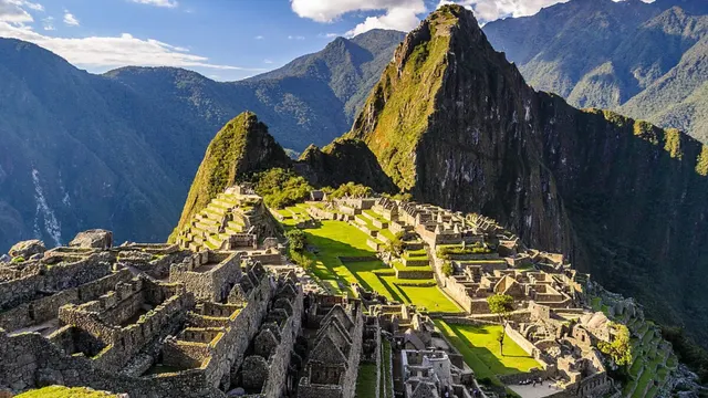
The Inca Bridge is a passage of stone and wood built into a cliff face west of the citadel. It was a secret entrance to Machu Picchu: by pulling away the logs, the trail could be cut off. You visit it on Route 1-D of the Panoramic circuit.
Route 1-D at a glance
| Circuit | 1 – Panoramic |
|---|---|
| Round-trip distance | About 2.6 km |
| Effort | Moderate |
| Maximum time allowed | 3 hours |
| Season | Peak season only |
What the hike is like
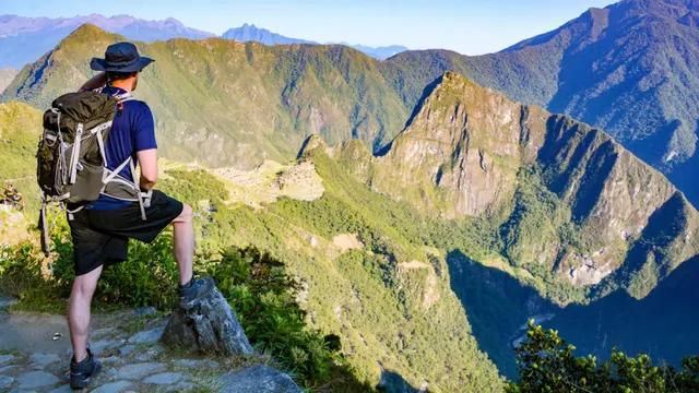
It sets out from the upper part of the citadel and follows a narrow, nearly flat trail carved into the mountainside. You view the bridge from a lookout; you don’t cross it. Along the way you’ll see the Vilcanota Valley.
Who is it for?
- Travelers who want a short, easygoing walk that’s different from the classic visit.
- It’s not for people with vertigo: the trail skirts a sheer drop, though it does have safety barriers.
Route 1-D isn’t sold outside peak season. Compare every route in Machu Picchu circuits.
Frequently asked questions
Can you cross the Inca Bridge?
No. Route 1-D ends at a lookout from which you view the bridge.
How long is the Inca Bridge route?
It’s 2.6 km round trip, and the official map sets a maximum stay of 3 hours.